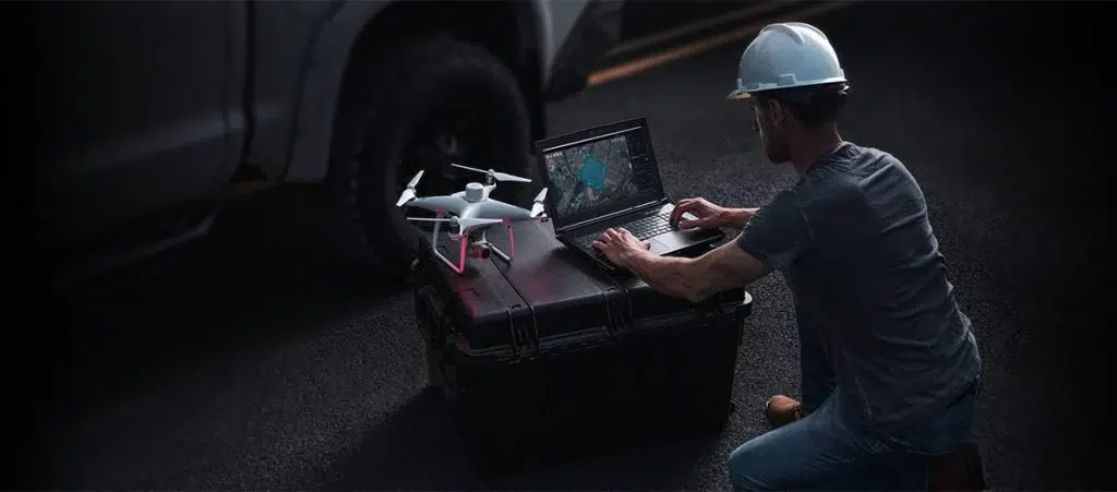
DJI Terra is a 3D model reconstruction software that has photogrammetry as its core technology. It supports a range of accurate and efficient 2D and 3D reconstruction of visible light, and data processing through DJI LiDAR. DJI Terra is a perfect match for DJI Enterprise drones and payloads. It works in conjunction to build a complete application solution that caters to vertical scenarios such as land surveying and mapping, power transmission, emergency services, construction, transportation, and agriculture.

ACCURATE RESULT
DJI Terra support for custom camera parameters and importing POS Data to create georeferenced maps and model with enhanced accuracy directly in the target coordinate system required by the project.

BEST EXPERIENCE
A simple and intuitive interface that gets you flying in no time. Run reconstruction missions by employing multiple graphics card simultaneously to improve efficiency. Unparalleled efficiency and user experience.

QUICK & EASY
DJI Terra supports output in common formats, including TIFF orthomosaic and elevation models, LAS point cloud format, and six common 3D model. Easily integrated into various GIS. Quick to use, it saves you time and money.
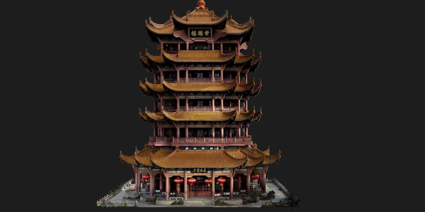
3D Models
DJI Terra generate realistic 3D models and point cloud results quickly from photos. AI technology now automatically optimizes water surfaces in the model. Users can now use Customized Mesh Simplification to simplify model meshes. Users can export formats commonly used in multiple industries for image reconstruction in diverse scenarios, such as surveying and mapping, accident sites, power grid equipment, and progress-tracking for construction projects.
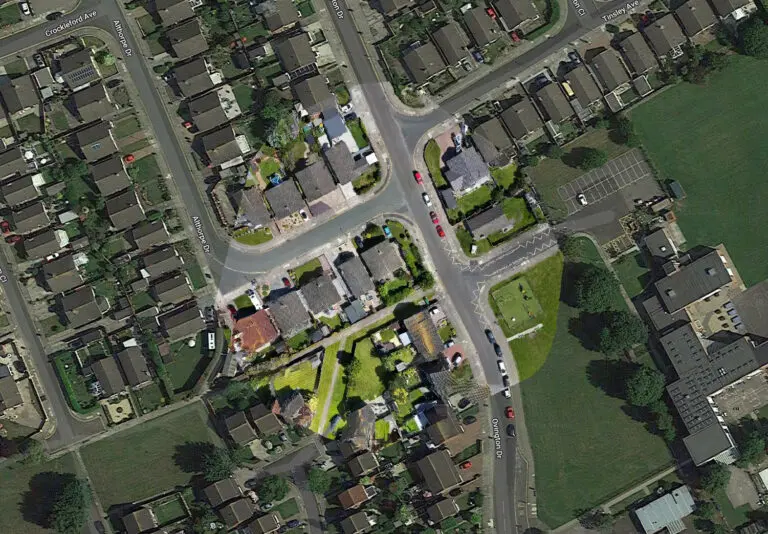
2D Maps
DJI Terra rapidly generate high-precision True Digital Orthophoto (TDOM) and Digital Surface Model (DSM) from photos. The algorithm is optimized according to the different scenarios to significantly improve processing efficiency, effectively avoid image warping and deformation, and obtain detailed and accurate measurement results for all your target objects and survey areas. It meets the needs of various scenarios such as mapping, land surveying, natural resource and urban planning, emergency response, agricultural route planning, and more.
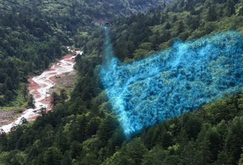
Postprocessing LiDAR
With just one click, you can perform highly accurate processing of the point cloud data captured by the Zenmuse LiDAR in DJI Terra. The data undergoes trajectory computation and point cloud accuracy optimization, enabling the direct generation of various standard formats of 3D point clouds. After ground point classification, it can output DEM (Digital Elevation Model) and contour results. Importing control points allows for accuracy control, resulting in high-precision point cloud outputs. Quality reports and profile inspection functions facilitate point cloud quality analysis.
100% SUPPORT AND ASSISTANCE
We constantly monitor and record the dynamics related to technical assistance on our software in order to be able to improve the support service more and more and obtain the highest possible level of user satisfaction.
We offer specific assistance for all our customers, through specific webinars and assistance via tickets and email.
SUPPORTOur video tutorials will help you use the DJI Terra software quickly, efficiently and professionally.
VIDEO TUTORIAL